QUESTIONS? CALL OR TEXT! 1 (877) 921-6277 or (403) 266-2241
WE SHIP EVERYWHERE!

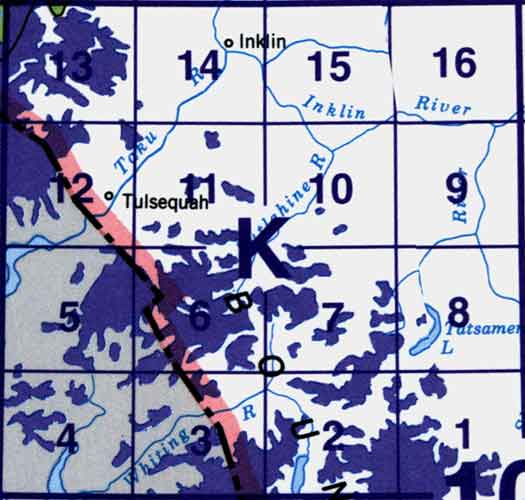
Use the following image to move to adjacent topo map indexes.
Back to the Block 104 Topographic Map Index.
104K - Tulsequah, 104K01 - Bearskin Lake, 104K02 - South Whiting River, 104K03 - Bates Peak, 104K05 - Part Of 104K06 Wright Glacier, 104K06 - Wright Glacier, 104K07 - Trapper Lake, 104K08 - Tatsamenie Lake, 104K09 - No Title, 104K10 - King Salmon Lake, 104K11 - Stuhini Creek, 104K12 - Tulsequah River, 104K13 - Tulsequah Glacier, 104K14 - Inklin, 104K15 - Yeth Creek, 104K16 - Teditua Creek