QUESTIONS? CALL OR TEXT! 1 (877) 921-6277 or (403) 266-2241
WE SHIP EVERYWHERE!

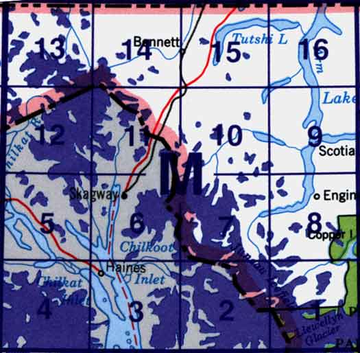
Use the following image to move to adjacent topo map indexes.
Back to the Block 104 Topographic Map Index.
104M - Skagway, 104M01 - Mount Caplice, 104M02 - Mount Pullen, 104M06 - Mount Bagot, 104M07 - Snowtop Mountain, 104M08 - Edgar Lake, 104M09 - Fantail Lake, 104M10 - Warm Creek, 104M11 - White Pass, 104M12 - Raymond Peak, 104M13 - Rothwell Peak, 104M14 - Homan Lake, 104M15 - Tutshi Lake, 104M16 - Turtle Lake. One or more of these maps cover a portion of Atlin Provincial Park