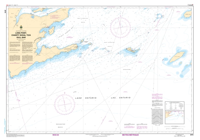
Charity Shoal to Gull Bar Nautical Chart - map 2016. Canadian Hydrographic Service (CHS)'s exceptional nautical charts and navigational products help ensure the safe navigation of Canada's waterways. These charts are the 'road maps' that guide mariners safely from port to port. With increasing commercial shipping, fishing activity, recreational boating, and the development of ocean resources, the role of CHS is more vital than ever. These charts are specifically designed to meet the requirements of marine navigation by showing the depths of water, the nature of the sea bottom, elevations, configuration and characteristics of the coast, dangers, and aids to navigation.