QUESTIONS? CALL OR TEXT! 1 (877) 921-6277 or (403) 266-2241
WE SHIP EVERYWHERE!

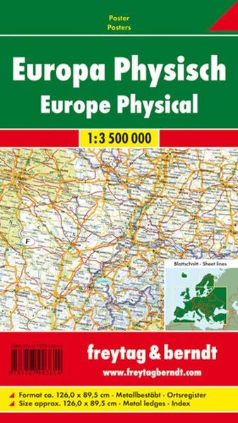


Terrain: A physical map shows the topography of the land, including mountains, valleys, rivers, and lakes. This can be particularly useful when planning a hiking or cycling trip, as it allows you to see the elevation changes and choose a route that suits your ability level.
Borders: A physical map shows the borders of different countries, which can be useful for planning a multi-country trip. It can also help you to navigate border crossings and understand the different rules and regulations that may apply in each country.
Distances: A physical map shows the distances between different locations, which can be helpful for planning a road trip or determining how long it will take to get from one place to another. This can also be useful for budgeting and scheduling your trip.
Natural features: A physical map shows the natural features of the land, such as forests, parks, and coastlines. This can be helpful for choosing scenic routes or planning outdoor activities.
Orientation: A physical map can help you to orient yourself and understand the relationship between different locations. This can be particularly useful when exploring a new city or region.
Overall, a physical map of Europe can be an essential tool for navigating the continent, providing valuable information about terrain, borders, distances, natural features, and orientation.