QUESTIONS? CALL OR TEXT! 1 (877) 921-6277 or (403) 266-2241
WE SHIP EVERYWHERE!

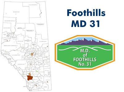
Nestled between the prairies and the peaks, Foothills County (Municipal District No. 31) is one of Alberta’s most diverse and scenic rural municipalities. Whether you are scouting for real estate near Calgary, managing a ranch in Millarville, or navigating the backroads of the Highwood River valley, our landowner map provides the essential data you need.
Quarter Section Surface Ownership: Every quarter section is clearly labeled with the current registered owner’s name, making it an invaluable tool for land agents, surveyors, and neighbors.
Visual Land Status: Color-coded for instant identification:
Freehold (Private): Clearly distinguishes titled private parcels.
Crown (Government): Highlights provincial and federal public lands.
Crown Leased: Essential for identifying grazing leases and industrial access.
Communities & Urban Hubs: Full coverage of areas surrounding the Towns of Okotoks, High River, and Diamond Valley, the Village of Longview, and hamlets including De Winton, Priddis, Millarville, Heritage Pointe, Blackie, and Cayley.
Infrastructure & Navigation: Features very current road data, including Township Roads, Range Roads, and Highway 2/22 corridors.
Natural Landmarks & Parks: Detailed mapping of the Sheep, Highwood, and Elbow Rivers, plus proximity to Sheep River Provincial Park and Frank Lake.