QUESTIONS? CALL OR TEXT! 1 (877) 921-6277 or (403) 266-2241
WE SHIP EVERYWHERE!

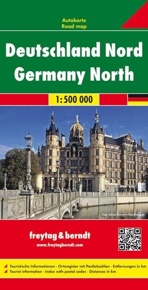
GERMANY NORTH REGIONAL & ROAD TRIP MAP
The Germany North Map is the authoritative guide for exploring the diverse and historically rich landscapes of Norddeutschland. This map is essential for anyone planning a driving holiday, historical tour, or regional exploration across the northern federal states.
Key Coverage and Features:
Major Urban Centers: Provides comprehensive road and logistical detail for Germany's largest northern cities, including Hamburg, the capital Berlin, Bremen, and Hannover.
Coastal Regions: Features the entire German northern coastline, including the islands and tourist hubs along the North Sea (Nordsee) and the Baltic Sea (Ostsee). Perfect for navigating to destinations like Rügen, Sylt, Lübeck, and Rostock.
Hanseatic Heritage: Highlights the historical routes and famous Hanseatic cities, making it an invaluable tool for cultural tourism and heritage exploration.
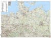
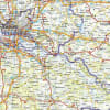
Detailed Road Network: Clear, easy-to-read cartography focuses on the full spectrum of road types, from the Autobahn network to regional scenic routes, making it the ideal German road trip map.
Beyond the Cities: Extends coverage into the adjacent geographical areas, including the northern foothills of the Harz Mountains, the North German Plain, and routes connecting to the border of Denmark.
Whether you are charting a route between Schleswig-Holstein and Mecklenburg-Vorpommern or planning a tour of coastal resorts, the Germany North Regional Map is the comprehensive navigator you need.