QUESTIONS? CALL OR TEXT! 1 (877) 921-6277 or (403) 266-2241
WE SHIP EVERYWHERE!

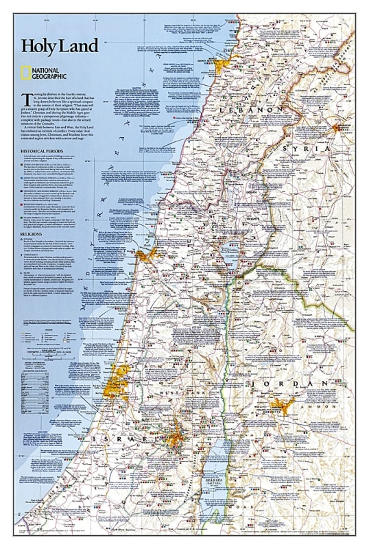
Explore the complex tapestry of the world’s most historic region with the Holy Land National Geographic Wall Map. This is more than a geographic reference; it is an in-depth cartographic study of the faiths, peoples, and politics that have shaped Western civilization. National Geographic’s legendary attention to detail provides a clear, comprehensive look at the modern political landscape layered with millennia of human history.
This map serves as a vital tool for understanding the intersection of modern borders and ancient traditions. Key features include:
Detailed Political Mapping: Features current international boundaries, major cities, and transportation networks across Israel, Palestine, Jordan, Lebanon, and parts of Syria and Egypt.
Religious & Historical Sites: Meticulously labeled locations of significance to Judaism, Christianity, and Islam, providing a visual context for biblical studies and historical research.
Cultural Insights: Integrated facts and notations regarding the diverse peoples and pivotal political events that have defined the region’s past and present.
Signature National Geographic Aesthetic: Printed with the iconic fonts and color palettes that make National Geographic maps as beautiful as they are informative.
Whether you are a student of theology, a history enthusiast, or a traveler planning a pilgrimage, this map offers the resolution and clarity needed to grasp the region's nuances. Its authoritative data and polished design make it an ideal centerpiece for libraries, places of worship, and educational environments.
| Feature | Details |
| Publisher | National Geographic |
| Subject | The Holy Land (Middle East) |
| Format | Wall Map (Available in Paper or Laminated) |
| Key Regions | Israel, Palestine, Jordan, Lebanon, Syria, Egypt |
| Features | Political Boundaries, Religious Landmarks, Historical Facts |
| Style | Classic National Geographic Reference Style |