QUESTIONS? CALL OR TEXT! 1 (877) 921-6277 or (403) 266-2241
WE SHIP EVERYWHERE!

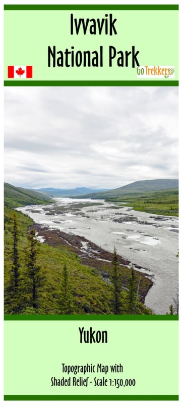
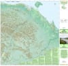
Explore the untamed beauty of the Yukon’s northernmost reaches with the only dedicated map series covering Canada’s Northern National Parks. This 1:150,000 scale map is a precision-engineered tool for the modern explorer, offering an unparalleled view of Ivvavik National Park, the first national park in Canada to be established through a native land claim settlement.
Navigating the British Mountains and the vast coastal plains of the Beaufort Sea requires more than just a general guide. This map provides the "ground-truth" data essential for safe Arctic travel:
Shaded Relief & 1:150,000 Scale: Features high-quality shaded relief that brings the rugged terrain to life, making it easy to visualize mountain passes and the winding path of the Firth River.
Essential Navigation Data: Includes a precise Latitude/Longitude grid, clear contours, and a detailed scale bar, ensuring compatibility with GPS units and traditional compass work.
Complete Park Coverage: Clearly defines the Park Boundary, identifying the protected traditional lands of the Inuvialuit and the critical habitat of the Porcupine caribou herd.
Rafter’s & Hiker’s Companion: Explicitly tracks rivers and drainage systems, making it the primary resource for those paddling the Firth River from the mountains to the Arctic Ocean.
Designed for the rigors of the North, this map measures approximately 38" x 34", providing a large, scannable format for basecamp planning. For convenience in the field, it comes folded in a compact 5" x 10" sleeve, making it easy to slide into a pack brain or a dry bag.
| Feature | Details |
| Scale | 1:150,000 |
| Region | Ivvavik National Park, Yukon (YK), Canada |
| Map Type | Topographic with Shaded Relief |
| Dimensions | Approx. 38" x 34" (Unfolded) |
| Format | Printed on paper, Folded in 5" x 10" sleeve |
| Key Features | Park Boundaries, Contours, Rivers, Lat/Long Grid |