QUESTIONS? CALL OR TEXT! 1 (877) 921-6277 or (403) 266-2241
WE SHIP EVERYWHERE!

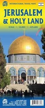
Explore the spiritual heart of three great faiths with this detailed, double-sided travel map. Designed for pilgrims, historians, and cultural explorers, this map provides both high-detail urban navigation and comprehensive regional coverage. The map is printed on durable, water-resistant material to withstand any journey.
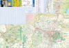
This side focuses on the capital, allowing for detailed exploration of its most sacred and complex areas:
Exceptional Detail: Mapped at a high-detail 1:10,000 scale, perfect for walking.
Old City Inset: Includes a highly detailed inset of the Old City, showing the quarters, gates, and the final stations of the Via Dolorosa.
Key Sites: Clearly marks the Church of the Holy Sepulchre, the Western Wall, the Mount of Olives, and the Temple Mount area.
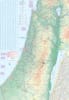
The reverse side provides the broader regional context for planning road trips and visiting sites beyond the capital:
Regional Road Network: Mapped at a practical 1:225,000 touring scale, showing all major roadways, elevations, and the Israel Railway system.
Pilgrimage Destinations: Accurately locate key biblical and historical sites, including:
Bethlehem (Church of the Nativity)
Nazareth (Childhood Home of Jesus)
The Sea of Galilee (Capernaum, Mount of Beatitudes)
The Dead Sea and the fortress of Masada.
Political Context: Includes essential detail for navigating the larger region, including an inset of the West Bank.
Whether you are tracing biblical history or exploring the complex political geography, this map is the single most valuable resource for The Holy Land.