QUESTIONS? CALL OR TEXT! 1 (877) 921-6277 or (403) 266-2241
WE SHIP EVERYWHERE!

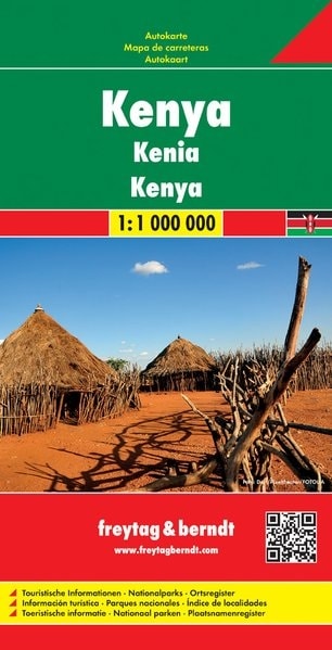
The Definitive Road Map for Your Kenyan Safari Adventure
Chart your course through East Africa's most popular destination with the Freytag & Berndt Kenya Travel Map. This hard-backed, durable road map is the essential navigational tool for independent travelers, self-drive safaris, and anyone exploring Kenya's diverse landscapes.
Key Features for the Kenyan Explorer:
Optimal Scale: The map uses a clear 1:1,000,000 scale to show the entire country on a single sheet, offering a balance between overall view and necessary detail.
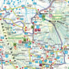
Detailed Tourist Information: Clearly marks all major National Parks and Game Reserves including Maasai Mara, Amboseli, and Tsavo, with park gates, lodges, and campsites easily visible.
Urban Navigation: Features enlarged, detailed inset maps of Nairobi and Mombasa, vital for navigating Kenya's bustling capital and its main coastal port.
Road Network Clarity: Distinguished road classifications (highways, main roads, and tracks) are marked, alongside driving distances in kilometers, railways, and airports.
Geographic Detail: Uses shaded relief to vividly depict Kenya's topography, from the Great Rift Valley to the peaks of Mount Kenya, helping you visualize the terrain.
Essential for Planning: Includes an extensive index of local authorities for quick location lookup, as well as tourist information like points of interest, ferries, and border crossings.
Whether you're heading for the white-sand beaches of the coast or chasing the Great Migration on the savanna, the F&B Kenya map is the trusted resource to keep you on track.