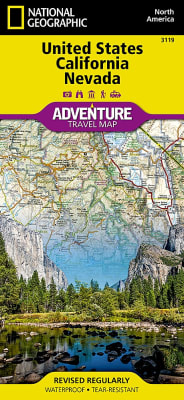
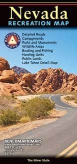
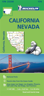
There are few nations as vast and spectacularly diverse as the United States of America. From the Atlantic to the Pacific, "America the Beautiful" offers boundless destinations and experiences for travelers seeking outdoor adventures, small town delights, or the excitement of urban culture.
Despite its foreboding name and the fact that it is the hottest, lowest, and driest area in North America, Death Valley National Park maintains a great diversity of life in its dramatic terrain of salt-flats, canyons, mountains, valleys, sand dunes, and badlands. National Geographic’s Trails Illustrated map of Death Valley National Park delivers unmatched detail and valuable information to assist you in your visit to this land of extremes. Expertly researched and created in partnership with local land management agencies, this map features key areas of interest including Badwater Basin, Furnace Creek, Scotty’s Castle, Panamint Springs, and Stovepipe Wells.
In addition to the easy-to-read map on the front, the back includes: - Regional map - Points of interest - Inset map of Downtown Las Vegas - Airport diagram - Information for Grand Canyon and Bryce Canyon National Parks - Multi-language legend.