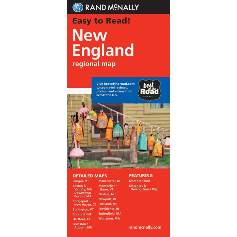
New England Regional Road map. Includes detailed maps of Bridgeport, Hartford, New Haven, Boston & area, Downtown Boston, Springfield, Worcester, Bangor, Lewiston, Portland, Concord, Manchester, Nashua, Newport, Providence & Burlin.
This is a must have map for those traveling around New England, offering unbeatable accuracy and reliability at a great price. Our trusted cartography shows all Interstate, state, and county highways, along with clearly indicated points of interest, airports, county boundaries, and more. You'll see why Rand McNally folded maps have been the trusted standard for years.
- Regularly updated, full-color maps
- Clearly labeled Interstate, U.S., state, and county highways
- Detail maps of major cities, a mileage chart, and a Mileages & Driving Times Map
- Indications of parks, points of interest, airports, county boundaries, and more
- Easy-to-use legend
- Detailed index
- Convenient folded size