If you are heading to New York City, be sure to pick up a travel guide! We have city guides suited to every type of traveler for this world class city.
The largest park in the contiguous United States, Adirondack Park is a diverse mountain landscape of protected boreal forests and pristine waterways interspersed with over one hundred towns and villages. National Geographic’s Trails Illustrated map of Adirondack Park combines unmatched detail with helpful information to offer an invaluable tool for making the most of your visit to this extraordinary region. Created in partnership with local land management agencies, this expertly researched map features key areas of interest including High Peaks Wilderness, Lake Placid, Sentinel Range Wilderness, Saranac Lakes Wild Forest, Lake Champlain, Giant Mountain Wilderness, Hurricane Mountain Wilderness, Split Rock Mountain Wild Forest, and Long Lake.
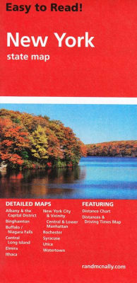
The front side is an easy-to-read road map with insets of: - Rochester - Syracuse - Utica - Binghamton - Albany / Schenectady / Troy The back includes: - Map and information for New York City - Map and information for Buffalo / Niagara Falls - Points of interest - Scenic drive - Park Service sites for New York State.