QUESTIONS? CALL OR TEXT! 1 (877) 921-6277 or (403) 266-2241
WE SHIP EVERYWHERE!

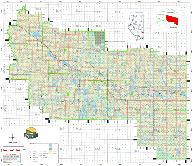
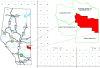
The Municipal District of Provost (MD 52) is a powerhouse of Alberta’s agricultural and energy sectors. Stretching to the Saskatchewan border, this region requires precise data for land management and rural travel. Our landownership map is the industry standard for identifying surface rights and navigating the East-Central Alberta prairies.
Quarter Section Ownership: Each individual 1/4 section is clearly labeled with the current registered owner's name, providing transparency for neighbors, realtors, and industry landmen.
Color-Coded Land Classification: * Freehold (Private): Clearly defined private titled land.
Crown (Government): Identifying provincial and federal holdings.
Leased Lands: Specifically highlights Crown Grazing Leases, a critical layer for local ranchers and outdoor enthusiasts.
Communities & Urban Centers: Full geographic coverage of the Town of Provost, the Villages of Amisk, Czar, and Hughenden, and the hamlets of Bodo, Cadogan, Hayter, and Metiskow.
Modern Road Infrastructure: Includes current Township Roads and Range Roads, as well as major corridors like Highway 13 and Highway 41 (the Buffalo Trail).
Natural Landmarks: Precise mapping of Dillberry Provincial Park, Shorncliffe Lake, Capt. Ayre Lake, and the Ribstone Creek basin.