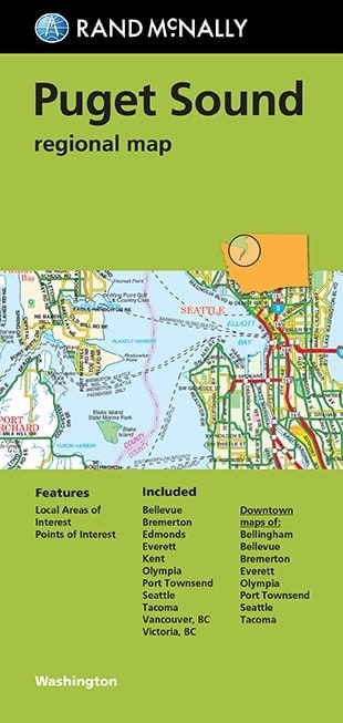
Puget Sound Regional Map by Rand McNally. Rand McNally's folded map for Puget Sound is a must-have for anyone traveling in and around this part of Washington, offering unbeatable accuracy and reliability at a great price. Our trusted cartography shows all Interstate, U.S., state, and county highways, along with clearly indicated parks, points of interest, airports, county boundaries, and streets. The easy-to-use legend and detailed index make for quick and easy location of destinations. You'll see why Rand McNally folded maps have been the trusted standard for years.
- Regularly updated
- Full-color maps
- Clearly labeled Interstate, U.S., state, and county highways
- Includes parks, points of interest, airports, county boundaries and vicinity maps
- Downtown maps of: Bellingham, Bellevue, Bremerton, Everett, Olympia, Port Townsend, Seattle, & Tacoma
- Easy-to-use legend
- Detailed & full street index
- Convenient folded size
Communities Included: Bellevue, Bremerton, Edmonds, Everett, Kent, Olympia, Port Townsend, Seattle, Tacoma, Vancouver, BC, Victoria, BC