QUESTIONS? CALL OR TEXT! 1 (877) 921-6277 or (403) 266-2241
WE SHIP EVERYWHERE!

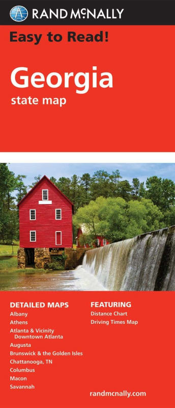
Enhanced Readability: A 43% larger map with a bigger type size than the standard Rand McNally folded map.
Trusted & Updated: Regularly updated, full-color maps from a leader in cartography for over 100 years.
Comprehensive Roadways: Clearly labeled Interstate, U.S., state, and county highways.
Travel Points: Find parks, points of interest, airports, and county boundaries.
Practical Tools: Includes a mileage and driving times map and a detailed index for quick and easy destination location.
Convenient & Portable: Designed with a convenient folded size that's easy to store in a glove box or travel bag.
City Maps Section: This map includes detailed inset maps of Georgia's most prominent cities, making it easy to navigate through urban areas. Detailed city maps include:
Albany
Athens
Atlanta & Vicinity
Downtown Atlanta
Augusta
Brunswick
Columbus
Macon
Savannah