QUESTIONS? CALL OR TEXT! 1 (877) 921-6277 or (403) 266-2241
WE SHIP EVERYWHERE!

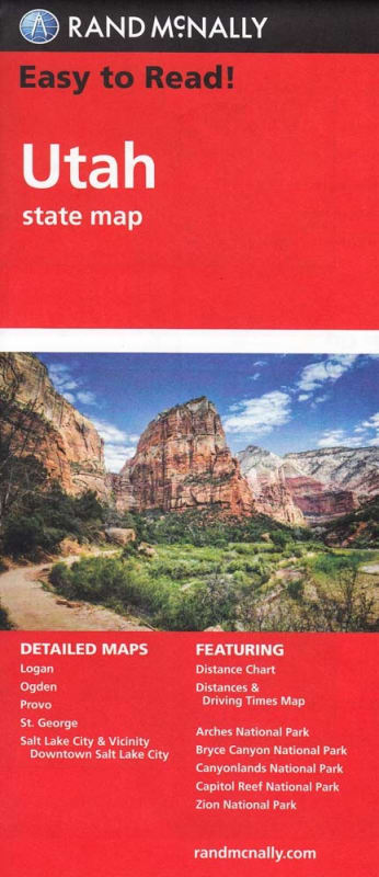
National Park Coverage: Includes detailed maps of all of Utah's "Mighty 5" National Parks: Arches, Bryce Canyon, Canyonlands, Capitol Reef, and Zion National Park.
Comprehensive Cartography: Shows all Interstate, U.S., state, and county highways, plus points of interest, county boundaries, and streets.
Travel Planning Tools: Features a state park chart, a state mileage chart, a driving times map, and visitor center information.
Easy to Use: An easy-to-use legend and detailed index allow for quick and easy location of any destination.
Essential Information: Provides climate data and state facts & symbols, along with a handy on-the-road toolbox for a complete travel experience.
Trusted Reliability: You'll see why Rand McNally folded maps have been the trusted standard for years, providing reliable navigation in any situation—even without a signal.
Detailed City and Park Maps Section: This map includes detailed inset maps to help you navigate Utah's most important destinations, including major cities and its world-famous national parks:
Arches National Park
Bryce Canyon National Park
Canyonlands National Park
Capitol Reef National Park
Zion National Park
Logan
Ogden
Provo
St. George
Salt Lake City & Vicinity
Salt Lake City Downtown