QUESTIONS? CALL OR TEXT! 1 (877) 921-6277 or (403) 266-2241
WE SHIP EVERYWHERE!

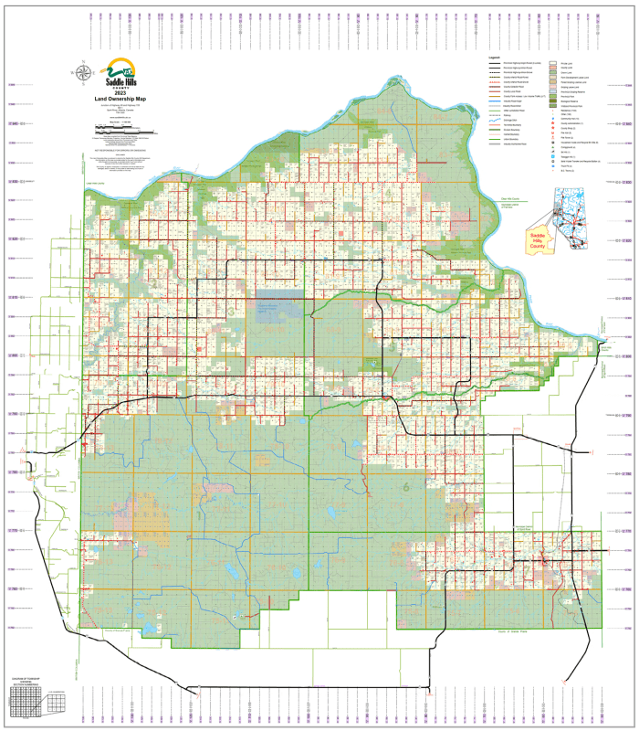
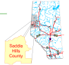
Strategically located in Northwestern Alberta, Saddle Hills County (Municipal District No. 20) is a land of immense opportunity, from the fertile fields of the Peace River banks to the rich natural gas deposits of the Montney Play. This high-precision map is the definitive resource for land management, industrial logistics, and rural navigation.
Detailed Surface Ownership: Every quarter section is clearly labeled with the current registered owner’s name (for parcels 40 acres or larger), providing transparency for agricultural planning and industry landmen.
Visual Land Classification: Color-coded for rapid identification of property types:
Freehold (Private): Standard private titled land.
Crown (Government): Provincial and Federal public lands.
Crown Leased: Includes Grazing Leases, Farm Development Leases, and Forest Grazing Licenses.
Communities & Urban Hubs: Full coverage for the Hamlet of Woking and the communities of Bay Tree, Bonanza, Blueberry Mountain, Gordondale, Gundy, and Silver Valley.
Infrastructure & Roads: Highly current information on Township Roads and Range Roads, plus major corridors like Highway 49 and Highway 2. Includes industrial roads and rail lines.
Natural Landmarks & Geography: Precise mapping of the Peace River, Pouce Coupe River, Moonshine Lake Provincial Park, and the Dunvegan West Wildland.
| Category | Keywords |
| Primary | Saddle Hills County Land Map, MD 20 Map, Alberta Landowner Maps |
| Regional | Woking AB Land Search, Bonanza Ownership, Blueberry Mountain Map, Peace Country Real Estate |
| Industry | Montney Play Gas Plants, Agricultural Lease Map, Northern Alberta Forestry Access |
| Navigation | Township and Range Roads Saddle Hills, Highway 49 Map, ATS Grid Navigation |