QUESTIONS? CALL OR TEXT! 1 (877) 921-6277 or (403) 266-2241
WE SHIP EVERYWHERE!

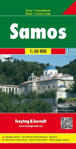
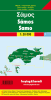
Explore the Aegean Gem: Freytag & Berndt Samos Map
Unlock the ancient and natural wonders of Samos with the highly precise Freytag & Berndt Map AK0811. With an exceptional scale of 1:50,000, this map provides the detail required to explore the island's winding mountain roads and famous walking paths with confidence.
Key Features for Your Samos Adventure:
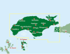
Exceptional Detail: The 1:50,000 scale is perfect for navigating the lush interior, clearly marking all roads (primary, secondary, and tertiary), with distances indicated.
Historical & Archaeological Sites: Easily locate the UNESCO World Heritage sites of Pythagoreio and the Heraion of Samos, as well as the magnificent Tunnel of Eupalinos.
Mountain and Hiking Routes: Features clear topographic detail, including hill-shading, to highlight the challenging peaks of Mount Kerkis and Mount Ambelos (Karvounis), making it a valuable tool for hikers.
Coastal Navigation: All major tourist resorts—including Vathy (Samos Town), Kokkari, and Karlovasi—are marked, along with numerous secluded beaches like Tsamadou and Lemonakia.
Travel Essentials: The map includes an extensive index of place names and symbols for important tourist information such as campsites, ports, and ferry lines (including connections to Turkey).
The Freytag & Berndt map is the ideal, reliable, and high-quality guide for your Samos road trip and island exploration.