QUESTIONS? CALL OR TEXT! 1 (877) 921-6277 or (403) 266-2241
WE SHIP EVERYWHERE!

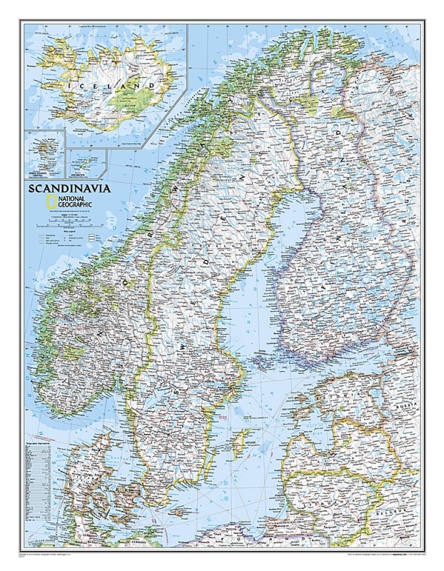
The Scandinavia Political Wall Map – National Geographic is a stunning wall map that provides detailed and accurate geographic and political information for Norway, Sweden, Denmark, and surrounding countries.
This map highlights political boundaries, major cities, towns, fjords, lakes, rivers, highways, roads, and airports, along with additional geographic features. Produced to National Geographic’s high cartographic standards, this map is ideal for classrooms, offices, or homes.
Perfect for students, travelers, researchers, and map enthusiasts, the map offers a clear view of Scandinavia’s countries, infrastructure, and natural landmarks, making it a valuable tool for study and display.
Detailed depiction of Norway, Sweden, Denmark, and surrounding countries
Political boundaries clearly marked
Major cities and towns labeled
Major highways, roads, and airports included
Fjords, lakes, rivers, and other bodies of water highlighted
Elegant wall map suitable for education, reference, or display
Educational classrooms and geography study
Travel planning and reference
Home or office wall display
Researchers, students, and map enthusiasts
Gifts for European geography lovers