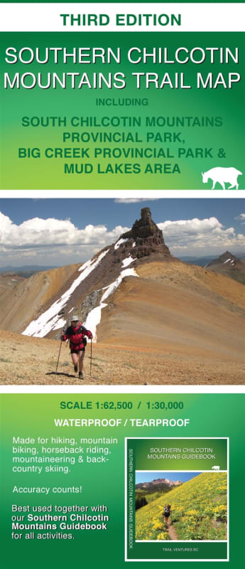
Southern Chilcotin Mountains Trail Map BC - GPS Based. Includes the South Chilcotin Mountains Provincial Park, Big Creek Provincial Park and the Mud Lakes Area. This is a waterproof and tear-proof trail map of the Southern Chilcotin Mountains. It is GPS based, which means it has accurate trail, route, track and road positions. Made for mountain biking, horseback riding, mountaineering, hiking and back country skiing. Out of park activities involving dirt bike, quad, 4WD and snowmobile will benefit from this map.