QUESTIONS? CALL OR TEXT! 1 (877) 921-6277 or (403) 266-2241
WE SHIP EVERYWHERE!

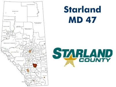
Situated in the dramatic landscape of the Canadian Badlands, Starland County (Municipal District No. 47) is a region where high-productivity grain farming meets unique geological formations. This professional-grade landownership map is the definitive resource for navigating the deep coulees and expansive plateaus of the Red Deer River valley.
Quarter Section Surface Ownership: Every quarter section is clearly labeled with the registered owner’s name, providing essential transparency for farmers, real estate investors, and industry landmen.
Visual Land Status Coding: Instantly distinguish between land types:
Freehold (Private): Clear identification of private titles.
Crown (Government): Provincial and federal public land holdings.
Leased Lands: Specifically identifies Crown Grazing Leases, a critical feature for ranchers and recreational users.
Communities & Urban Hubs: Comprehensive coverage for the Villages of Delia, Morrin, and Munson, as well as the unique hamlets of Craigmyle, Michichi, Rowley, and Rumsey.
Current Road Infrastructure: Detailed mapping of Township Roads and Range Roads, plus the Highway 9 and Highway 27 corridors.
Topographic & Natural Landmarks: Features the Red Deer River, Michichi Creek, Horsethief Canyon, and the Hand Hills—providing context for both industry and recreation.