QUESTIONS? CALL OR TEXT! 1 (877) 921-6277 or (403) 266-2241
WE SHIP EVERYWHERE!

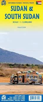
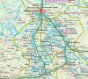
This highly detailed travel map is the definitive resource for navigating the diverse landscapes of Sudan and South Sudan. Utilizing advanced hypsometric color-coding, the map illustrates the region's dramatic topography—from the vast Saharan plains and the Sudd wetlands to the rugged Imatong Mountains and the Red Sea Hills.
Comprehensive Road Network: Features distinctive, easy-to-read highlighted roadways, including major highways and essential seasonal tracks across both nations.
Elevation & Terrain: Detailed color-tinted relief mapping provides a clear visual of the varying altitudes, mountain passes, and desert plateaus.
Rich Tourist Information: Expertly marked points of interest, including the Pyramids of Meroe, UNESCO World Heritage sites, national parks, and archaeological ruins.
Urban Details: Includes specialized insets and detailed indexing for major hubs like Khartoum and Juba.
Vital Landmarks: Clearly identifies airports, border crossings, fuel stations, and water sources—essential for off-the-beaten-path travel.
| Feature | Details |
| Map Type | Topographic & Road Travel Map |
| Visual Style | Hypsometric (Color-coded Elevation) |
| Scale | 1:1,800,000 (standard for the region) |
| Coverage | North & South Sudan, plus border regions |
| Data Included | National Parks, Historical Sites, Major Rivers (Blue & White Nile) |