QUESTIONS? CALL OR TEXT! 1 (877) 921-6277 or (403) 266-2241
WE SHIP EVERYWHERE!

The Ultimate Guide for Cross-Border Exploration
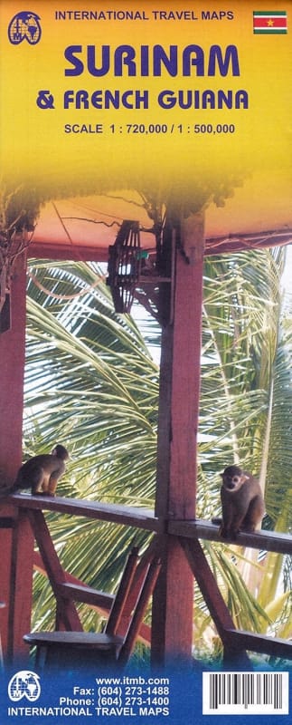
Unlock the secrets of South America’s northeastern frontier with the most comprehensive physical and road map of Suriname and French Guiana. Whether you are a solo backpacker, a research expedition leader, or a traveler exploring the unique Dutch and French heritage of the tropics, this map is engineered for the journey.
While digital navigation can be unreliable in dense rainforests and remote border regions, this high-scale professional map offers a fail-safe bird’s-eye view of the entire Guiana Shield.
Two Countries, One Map: Seamlessly plan your route from the vibrant riverfront of Suriname to the European charm of French Guiana without switching between different sheets.
Built for the Tropics: Printed on high-quality, water-resistant and tear-proof material, this map survives the high humidity and sudden downpours of the Amazonian climate.
Deep Interior Detail: Go beyond the coastal highways. This map identifies smaller tracks, landing strips, ferry crossings, and river routes essential for reaching eco-lodges and indigenous villages.
Detailed City Insets: Includes high-resolution street maps of Paramaribo and Cayenne, marking embassies, hospitals, hotels, and major landmarks.
Topographic Clarity: Features color-coded elevation shading and detailed river systems (including the Maroni and Courantyne rivers) to help you understand the terrain.
Points of Interest (POI): Clearly marked national parks, UNESCO World Heritage sites, nature reserves, and popular trekking trailheads.
Scale for Precision: Rendered at a highly legible 1:750,000 scale, balancing broad regional overviews with specific navigational detail.
Overlanders & Drivers: Navigate the East-West Link and across-border transit points with confidence.
Eco-Tourists: Locate the Central Suriname Nature Reserve and the Guiana Amazonian Park.
History & Culture Buffs: Find colonial-era sites, former plantations, and the famous Space Centre in Kourou.
Traveler’s Tip: Cell service drops off quickly once you leave the coastal belt. Always carry a physical map as your primary backup for off-grid safety.