QUESTIONS? CALL OR TEXT! 1 (877) 921-6277 or (403) 266-2241
WE SHIP EVERYWHERE!

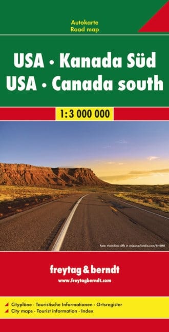
Your Essential Map for North American Road Trips: USA & Southern Canada
The Freytag & Berndt USA & Southern Canada Road Map is the ideal companion for anyone planning a grand adventure across North America. At a highly legible scale of 1:3,000,000, this large-format, double-sided map provides comprehensive coverage of the continental USA and the populated, southern regions of Canada.
Navigate the Continent with Confidence:
Massive Coverage: Provides an excellent overview of the road network from the US East Coast to the West Coast, and North into the major Canadian provinces like Ontario, Quebec, and British Columbia.
Detailed Road Network: All major interstates, US highways, Canadian motorways, and secondary roads are clearly marked. Distances between points are noted in kilometers/miles for easy journey planning. Scenic routes are also highlighted.
Over a Dozen City Insets: The map includes a valuable collection of detailed city plans for key metropolitan areas such as New York City, Chicago, Los Angeles, Miami, San Francisco, Toronto, Vancouver, and Montreal, ensuring easy navigation in urban centers.
Tourist & Geographic Detail: Features are marked with icons for National Parks (Yellowstone, Banff, Grand Canyon), major points of interest, airports, and administrative divisions. Shaded relief shows the topography, from the Appalachian Mountains to the Rockies.
Perfect for Planning: This map is an indispensable tool for pre-trip route planning and an excellent backup for digital navigation, making it a must-have for RV travelers, cross-border adventurers, and long-haul drivers.