QUESTIONS? CALL OR TEXT! 1 (877) 921-6277 or (403) 266-2241
WE SHIP EVERYWHERE!

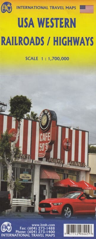


Planning a scenic journey by train or car across the American West? This double-sided USA Western Railroads and Highways Map is the indispensable resource for independent travel, blending detailed road navigation with prominent identification of all passenger service rail lines (like Amtrak).
Whether you are riding the famous Western routes or exploring by car, this map shows you the best way to connect cities and major touristic attractions.
This single map spans the entire length of the Western United States and parts of Western Canada, offering exceptional detail in two large sections:
Side 1: The Pacific Northwest to the Rockies
Covers the northern region from Vancouver (Canada) south through the Pacific Northwest to Red Bluff in California.
Extends eastward across the mountains to Casper, Wyoming, covering routes often used by the Amtrak Cascades and Empire Builder.
Side 2: California Coast to the Southwest
Covers the vital southern regions from north of Sacramento, California down to the Mexican border.
Extends from the Pacific Coast eastward across the Southwest to key hubs like Denver, Colorado and El Paso, Texas, covering iconic routes like the Coast Starlight and California Zephyr.
This specialized map ensures you have all the necessary information for a multi-modal Western adventure:
Passenger Rail: All active Passenger Service Rail Lines are clearly shown, making it easy to trace famous Amtrak routes (e.g., Coast Starlight, California Zephyr, Southwest Chief).
Road Network: Includes a comprehensive network of Motorways and Highways for road-trippers and support drivers.
Tourism: Clearly marked Touristic Attractions and national parks near the rail and road corridors (e.g., Yosemite connections, Rocky Mountain access).
Navigation: Shows major cities, towns, and geographical features essential for long-distance travel planning.
This ITMB Western USA map is the perfect tool for tracking your journey, locating points of interest, and ensuring you always know your route, even where GPS signals fail.