QUESTIONS? CALL OR TEXT! 1 (877) 921-6277 or (403) 266-2241
WE SHIP EVERYWHERE!

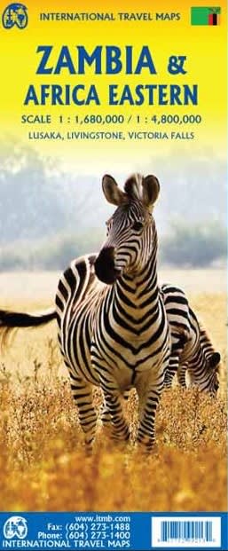


Discover the raw beauty of the African bush with the most comprehensive Zambia & East Africa Travel & Road Map. This isn't just a navigation tool—it's an all-in-one expedition guide. Colour-coded by elevation to help you navigate the rugged plateaus and valleys, this map is essential for overlanders, safari-goers, and business travelers alike.
We’ve curated and indexed the absolute best the region has to offer, including:
Victoria Falls (Mosi-oa-Tunya): The "Smoke that Thunders" and a Natural Wonder of the World.
South Luangwa National Park: The legendary home of the "walking safari."
Lower Zambezi National Park: Unrivaled boat safaris and tiger fishing.
Kafue National Park: One of the largest and most pristine wilderness areas in Africa.
Lake Kariba: Africa’s largest man-made lake, perfect for houseboat retreats.
Kasanka National Park: Witness the world's largest mammal migration (fruit bats).
Shiwa Ng’andu: The historic "Manor House" in the heart of the bush.
Devil's Pool: The ultimate adrenaline-junkie infinity pool at the edge of the falls.
Lusaka National Museum: A deep dive into Zambia's rich cultural and political history.
Bangweulu Wetlands: A bird-watcher’s paradise and home to the rare Shoebill stork.
Stop guessing your way through the city. This map features high-detail inset maps for:
Lusaka: Navigate the capital’s markets, museums, and business districts.
Livingstone: The adventure hub of the north, with all museums and local points of interest.
Victoria Falls: A dedicated, large-scale map of the falls area, showing viewpoints, trails, and nearby lodging.
Infrastructure & Survival: Clearly marked roadways (from highways to bush tracks), international/domestic airports, hospitals, and gas stations.
Heritage & Culture: Includes historic and archaeological sites, museums, and traditional craft markets.
Stay & Rest: Pinpoints lodging, rest houses, and remote camp sites, helping you plan multi-day overland journeys.