QUESTIONS? CALL OR TEXT! 1 (877) 921-6277 or (403) 266-2241
WE SHIP EVERYWHERE!

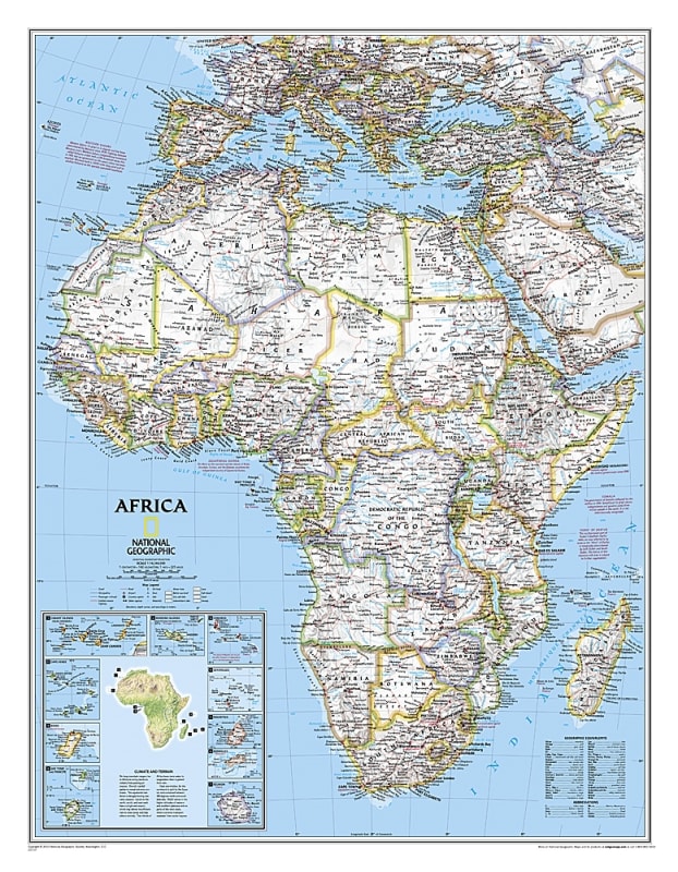
The Africa Classic National Geographic Wall Map is a highly detailed political map of the African continent. It shows country boundaries, major cities, airports, highways, roads, rivers, and lakes, providing a comprehensive reference for students, educators, travelers, and map enthusiasts.
National Geographic’s classic style ensures both accuracy and readability, with thousands of place names and clear demarcation of political boundaries. The map is ideal for classroom instruction, travel planning, or wall display at home or office, offering a visually appealing way to study Africa’s geography.
Detailed country boundaries for all African nations
Thousands of place names including capitals, cities, and towns
Major transportation networks: highways, roads, and airports
Bodies of water including rivers, lakes, and coastal features
Clear, readable, and classic National Geographic design
Ideal for educational, professional, and decorative use
Students, educators, and researchers studying African geography
Travel planning and regional reference
Home or office wall display
Map collectors and National Geographic enthusiasts