QUESTIONS? CALL OR TEXT! 1 (877) 921-6277 or (403) 266-2241
WE SHIP EVERYWHERE!

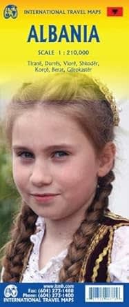


Discover the untamed coastlines, rugged mountain passes, and hidden historical treasures of the Balkan Peninsula with the authoritative, double-sided Albania Travel & Road Map. Purpose-built for independent backpackers, overland driving enthusiasts, cultural tourists, and regional road-trippers, this comprehensive reference map delivers unmatched geographic clarity. It serves as your definitive, signal-free safety guide for navigating Albania’s rapidly expanding transit networks and dramatic Mediterranean landscapes with absolute confidence.
The double-sided layout splits the country strategically to maximize legibility and prevent visual clutter. The entire map is masterfully color-coded to elevation, utilizing vivid terrain tinting to bring the dramatic topography of the Albanian Alps and Tomorr mountain ranges to life. This allows drivers and cyclists to easily anticipate steep gradient shifts and winding switchbacks before setting out.
Far more than a standard highway atlas, this map features a deeply detailed transit overlay and an extensive place-name index. It contains high-accuracy tracking for:
The Evolving Road Network: Clearly differentiates between primary expressways, paved national highways, and remote secondary gravel routes.
International & Domestic Gateways: Pinpoints the locations of commercial airports, regional railroad networks, and vital maritime ferry terminals linking Albania to Italy, Greece, and Corfu.
Backcountry Accommodations: Explicitly marks managed camping sites, caravan parks, and rural rest stops for travelers seeking an outdoor adventure.
To guide you seamlessly from remote archaeological valleys through the heart of Albania's urban spaces, this map includes eight specialized city and town inset maps. These localized blueprints make it effortless to navigate bustling pedestrian zones, locate boutique lodging, and find historical landmarks within:
Tirana (The vibrant capital city)
Durrës (The historic coastal port)
Sarandë (The premier Riviera gateway)
Gjirokastër & Berat (UNESCO World Heritage museum towns)
...and three additional key regional hubs.
An easy-to-read multilingual legend points you directly to Albania's top attractions and points of interest. With a quick glance, you can locate ancient Illyrian and Roman ruins (such as Butrint), Ottoman-era castles, isolated monasteries, national parks, pristine beaches, and local tourism information centers. Printed on high-quality, high-contrast presentation paper, this map folds down into a durable, compact travel size that fits perfectly in your daypack, glove box, or motorcycle tank bag.