QUESTIONS? CALL OR TEXT! 1 (877) 921-6277 or (403) 266-2241
WE SHIP EVERYWHERE!

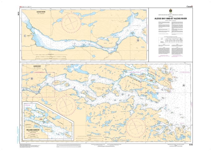
Navigate the intricate coastal inlets and river approaches of Southern Labrador with the official Canadian Hydrographic Service (CHS) Chart 5179, covering Alexis Bay and the Alexis River. Rendered at a detailed 1:40,000 scale, this high-precision nautical chart is an essential tactical resource for regional supply vessels, commercial fishing fleets, coastal transports, and specialized expedition crews navigating near Port Hope Simpson and the surrounding waters.
Engineered to address the complex navigation requirements of narrow subarctic bays, shifting river channels, rocky shoals, and variable coastal tides, this map provides crucial underwater intelligence for safe passage and anchoring. It features meticulous bathymetric depth soundings, accurate shoreline topography, submerged hazards, shoals, and key navigational aids. Whether you rely on this print-on-demand chart as an essential physical safety backup to your vessel's electronic charting system or display it as a beautifully detailed piece of Canadian cartography in your home, lodge, or office, it delivers outstanding spatial accuracy. Printed on heavy-duty, marine-ready media, it is built to handle active onboard conditions or serve as a striking coastal wall display.