QUESTIONS? CALL OR TEXT! 1 (877) 921-6277 or (403) 266-2241
WE SHIP EVERYWHERE!

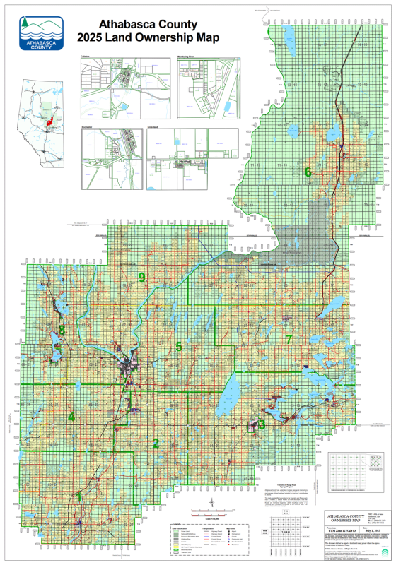
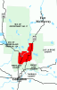
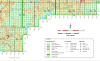
Navigate rural land ownership and regional infrastructure across North-Central Alberta with the official Athabasca County Landowner Map (County No. 12). Printed at a detailed 1:90,000 scale, this professional-grade rural reference map delivers clear, high-precision land ownership data for property identification, resource management, and outdoor navigation.
Designed for farmers, land agents, energy sector operators, and local residents, this county map provides a complete breakdown of surface land rights across every quarter section in Athabasca County.
Quarter Section Ownership: Every quarter section is clearly labeled with the current surface owner's name for seamless property boundary identification.
Color-Coded Land Status: Visual distinction between Freehold (private property), Crown (provincial/federal land), and Crown Leased holdings (vital for grazing and agricultural planning).
Complete Road Grid: Detailed, up-to-date rural road network featuring Township Roads, Range Roads, secondary routes, and major highways.
Urban & Rural Coverage: Displays all municipal boundaries, cities, towns, villages, and local hamlets across County 12.
Hydrology & Topography: Clear markings for regional water bodies including major lakes, rivers, provincial parks, and natural reserves.
Whether managing land access, conducting real estate research, or navigating rural backroads, the Athabasca County Landowner Map provides dependable, authoritative geographic data.