QUESTIONS? CALL OR TEXT! 1 (877) 921-6277 or (403) 266-2241
WE SHIP EVERYWHERE!

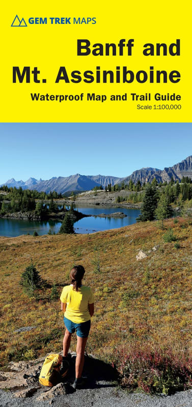


Experience the raw, majestic scale of the Canadian Rockies with the authoritative Banff & Mount Assiniboine Hiking Map by Gem Trek.
The primary side features Gem Trek's signature detailed cartography, pairing contour lines at 50-metre intervals (150 feet) with advanced relief shading
Banff Townsite Day Hikes: Delivers exact route mapping for all classic trails surrounding the town, including Tunnel Mountain, Sundance Canyon, Bow Falls to the Hoodoos, Johnston Canyon, and Castle Mountain Lookout
Sunshine Village Network: Fully details the vibrant meadow trail systems branching directly out of the Sunshine Village alpine area.
Iconic Multi-Day & Equestrian Loops: Tracks deep-wilderness routes in their entirety, including the beautiful lakes of Egypt Lake and Shadow Lake, as well as the high-elevation trek along the Sawback Trail through Mystic Pass
Mount Assiniboine Access Corridors: Provides total coverage of the high-stakes access routes into the base of "the Matterhorn of the Rockies," allowing you to plan approaches via Sunshine Meadows and Citadel Pass, or via Bryant Creek from the Mt. Shark trailhead located in Kananaskis Country.
Two-Wheeled Exploration: Highlights more than 10 dedicated mountain biking trails, ranging from casual townsite loops to technical long-distance singletrack classics like the Goat Creek Trail, Lake Minnewanka shoreline, and the Banff Trail–Rundle Riverside route spanning from Canmore to Banff.
Turn the map over to unlock a high-density, full-color field guide and planning matrix.
High-Resolution Topo Insets: Features two specialized 1:50,000-scale inset maps focusing specifically on the high-traffic Mt. Assiniboine core and Sunshine Village sectors to simplify local navigating.
Color-Coded Trail Directory: Includes standalone trail descriptions, statistics, and vivid photos for 29 different routes—specifically broken down into 19 recommended day hikes, 4 classic multi-day expeditions, and 6 mountain bike rides—all seamlessly color-coded to the front map.
Vital Resource Logistics: Lists essential emergency and park agency contact numbers to ensure proactive trip preparation and safety.
100% Waterproof & Tear-Resistant Synthetic Paper: Built to survive the volatile mountain elements.
(Note: For ultra-high-density coverage focusing strictly on the immediate townsite area, see the companion Banff Up-Close Map at 1:35,000