QUESTIONS? CALL OR TEXT! 1 (877) 921-6277 or (403) 266-2241
WE SHIP EVERYWHERE!

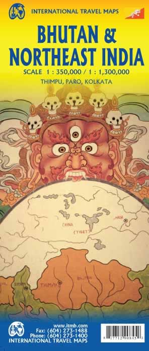
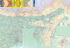

Double-Sided Coverage: Features the Kingdom of Bhutan on one side and a detailed map of North East India on the reverse.
Bhutan Scale: Detailed cartography at 1:350,000 for clear road, village, and terrain detail.
North East India Scale: Regional coverage at 1:1,300,000, extending from Kolkata up through Sikkim.
Road Networks: Clearly marked primary highways, secondary roads, and five levels of road detail.
Tourist & Cultural Sights: Locations of major Dzongs (monastery-fortresses), temples, monasteries, and scenic viewpoints.
Insets: Detailed city plans for major gateways like Thimphu and Paro.
Relief Mapping:Color relief shading to clearly show changes in elevation and mountainous terrain (Himalayas).
Ideal for: Adventure travel, driving, self-guided tours, and planning trekking routes (Druk Path, etc.).
Durability: Available in standard paper or laminated/water-resistant edition.