QUESTIONS? CALL OR TEXT! 1 (877) 921-6277 or (403) 266-2241
WE SHIP EVERYWHERE!

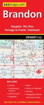
Navigate the "Wheat City" and the surrounding Westman region with the Brandon Manitoba Street Map. This full-color, highly detailed street guide is the definitive resource for residents, travelers, and logistics professionals. While providing a dense, street-level view of Brandon, this map extends its coverage to include over 20 essential Manitoba and border communities, making it a versatile regional atlas in a single convenient format.
Beyond basic navigation, this map is a complete community directory. It features clearly marked locations for sport arenas, community centers, golf courses, hospitals, and schools. Tourists and local explorers will appreciate the highlighted parks, shopping centers, and major points of interest that define the cultural landscape of Southern Manitoba. Whether you are searching for a specific residential address in Brandon or planning a trip to outlying areas like Steinbach, Thompson, or Winkler, this map provides the clarity and up-to-date geographical data required for seamless travel across the province.
Communities included in this guide:Brandon, Creighton, Dauphin, Flin Flon, Gimli, Killarney-Turtle Mountain, Lac du Bonnet, Minnedosa, Morden, Niverville, Portage la Prairie, Powerview-Pine Falls, St. Malo, Ste.