QUESTIONS? CALL OR TEXT! 1 (877) 921-6277 or (403) 266-2241
WE SHIP EVERYWHERE!

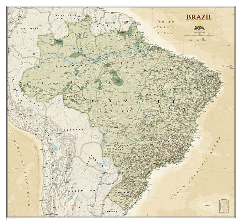
The Brazil Executive Wall Map – National Geographic is one of the largest and most detailed wall maps available for South America’s largest country. It covers all 26 states and 1 federal district, including Brazil’s coastal islands and protected areas such as Fernando de Noronha National Marine Park, Abrolhos National Park, and the Arquipelago dos Abrolhos.
This map features over 1,000 named places, including state capitals, primary and secondary towns, political boundaries, key infrastructure, and major landforms. Brazil’s national parks are highlighted, and the map provides a detailed view of the Amazon River and its extensive network of tributaries, showcasing the country’s rich hydrography.
Perfect for offices, classrooms, travel planning, or home display, this map combines National Geographic’s signature cartographic accuracy with a visually striking and educational design.
Complete political coverage of 26 states and 1 federal district
Coastal islands including Fernando de Noronha and Abrolhos archipelago
Over 1,000 place names including capitals, towns, and landmarks
Highlighted national parks and conservation areas
Extensive river network including the Amazon River system
Key infrastructure such as roads, highways, and airports
Ideal for reference, educational, or decorative use
Students, researchers, and educators studying Brazil
Travel planning and geographic reference
Offices, classrooms, and home wall decoration
Map collectors and geography enthusiasts