QUESTIONS? CALL OR TEXT! 1 (877) 921-6277 or (403) 266-2241
WE SHIP EVERYWHERE!

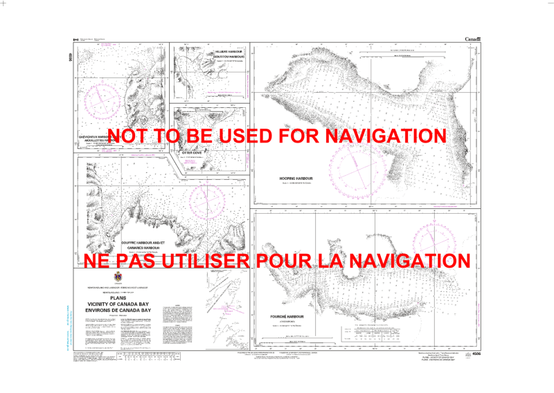
Navigate the secluded and spectacular waters of the Great Northern Peninsula with the high-resolution detail of CHS Nautical Chart 4506. This specialized "Plans" chart provides large-scale mapping for the Vicinity of Canada Bay, an area renowned for its deep-water fjords, historic fishing settlements, and rugged limestone cliffs. As a critical resource for mariners operating on the eastern side of the peninsula, this chart offers the granular data necessary for safe pilotage within the bay’s complex arms and sheltered coves.
Chart 4506 features essential insets for key locations such as Englee, Canaries Harbour, and Canada Harbour. It provides precise hydrographic data for the narrow, rock-bound entrances to Boutitou Hill and the inner reaches of Chimney Bay. Whether you are a commercial fisher operating out of the fish processing plants in Englee, a recreational sailor exploring the "French Shore" history, or a maritime researcher, this official Canadian Hydrographic Service chart delivers the soundings, navigational aids, and shoreline topography needed to navigate these deep, current-swept waters.
Key Features include:
Detailed Harbour Plans: High-scale insets for Englee Harbour, Canada Harbour, and the strategic approaches to Griquet.
Fjord-Depth Bathymetry: Features precise depth soundings and seabed composition essential for anchoring in the deep basins of Chimney Bay.
Navigational Infrastructure: Clearly identifies the Englee range lights, coastal beacons, and public wharf structures.
Safety & Hazard Identification: Highlights "White Point" shoals, submerged rocks near Green Island, and the steep-to coastal ledges.
Professional Grade: Produced to the rigorous standards of the Canadian Hydrographic Service (CHS) for professional navigation, maritime safety, and GIS spatial analysis.