QUESTIONS? CALL OR TEXT! 1 (877) 921-6277 or (403) 266-2241
WE SHIP EVERYWHERE!

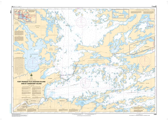
Commence your journey into the vast waters of the Boundary Country with Nautical Chart 6108. This official hydrographic map is the primary navigational resource for the western entrance of Rainy Lake, providing critical detail for the transit from the docks of Fort Frances out toward Hostess Island and Sandpoint Island.
As the main gateway for boaters leaving the municipal hubs of Fort Frances and International Falls, Chart 6108 offers the high-resolution data necessary to navigate the high-traffic channels safely. The map features precise bathymetric soundings that identify the rocky shoals and submerged hazards common in the transition from the Rainy River into the open lake. Detailed coverage includes the complex island chains near Sandpoint Island and the primary navigation routes leading to the North and East Arms. Whether you are piloting a houseboat, a fishing vessel, or a recreational cruiser, this chart provides the essential positioning of all buoys, lights, and international boundary markers required for safe and legal pilotage.
Key Features:
Vital Gateway Coverage: Detailed mapping from the Fort Frances waterfront through the western basin to Hostess and Sandpoint Islands.
Hydrographic Precision: Features updated depth contours and sea-bottom characteristics essential for the lake's entrance and primary channels.
Safety & Navigation: Clear identification of the international border, hazardous reefs, and the exact placement of navigational aids.
Multi-Use Reference: The definitive map for local residents, seasonal tourists, and anglers departing from the region's main urban centers.
Region: Western Rainy Lake / Fort Frances, Ontario.
Major Points: Fort Frances Docks, Sandpoint Island, Hostess Island.
Scale: Designed for detailed channel navigation and harbor approach.