QUESTIONS? CALL OR TEXT! 1 (877) 921-6277 or (403) 266-2241
WE SHIP EVERYWHERE!

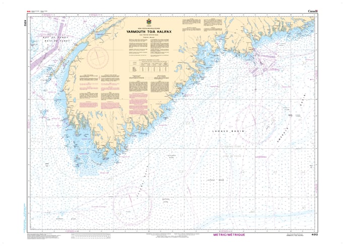
Navigate the rugged and strategic South Shore of Nova Scotia with the Official CHS Chart 4012. This essential coastal chart provides detailed coverage for the high-traffic maritime corridor stretching from Yarmouth to Halifax.
As a genuine Canadian Hydrographic Service (CHS) publication, Chart 4012 is a primary resource for commercial shipping, fishing fleets, and offshore sailors transiting between the bustling Port of Halifax and the gateway to the Bay of Fundy. This region is known for its intricate coastline, numerous islands, and varying depths; this chart offers the precise bathymetry and shoreline data required to navigate these waters with absolute confidence.
Key Features include:
Major Coastal Coverage: Detailed mapping of the Nova Scotia South Shore, including the approaches to Halifax Harbour and Yarmouth.
Official Data Accuracy: Compiled by the CHS to ensure compliance with maritime safety regulations and carriage requirements.
Navigational Hazards: Clear identification of the shoals, ledges, and rocky outcrops characteristic of the Atlantic Coast.
Strategic Transit Tool: Essential for vessels moving between the Atlantic Ocean, the Gulf of Maine, and the Bay of Fundy.