QUESTIONS? CALL OR TEXT! 1 (877) 921-6277 or (403) 266-2241
WE SHIP EVERYWHERE!

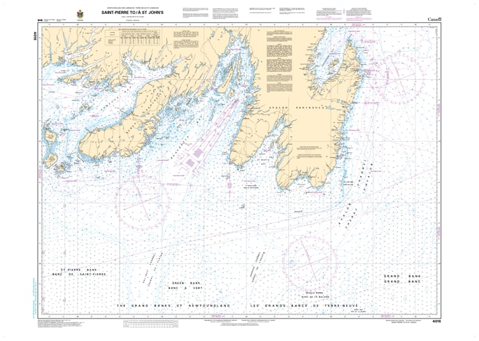
Navigate the dramatic and often fog-shrouded southern coast of Newfoundland with the Official CHS Chart 4016. This high-priority coastal chart provides detailed coverage for the primary maritime route stretching from the French territory of Saint-Pierre and Miquelon to St. John's, Newfoundland.
As a genuine Canadian Hydrographic Service (CHS) publication, Chart 4016 is an essential resource for vessels transiting along the Burin and Avalon Peninsulas. This region is famous for its rugged cliffs, deep bays, and heavy commercial traffic heading into the Port of St. John's. This chart offers the precise bathymetry and shoreline data required to navigate these storied waters—where the Atlantic Ocean meets the rocky "Rock"—with absolute confidence.
Key Features include:
Major Coastal Coverage: Detailed mapping of the southern Avalon Peninsula, including the approaches to Placentia Bay and St. John's Harbour.
Official Data Accuracy: Compiled by the CHS to ensure full compliance with maritime safety regulations and carriage requirements.
Navigational Hazards: Clear identification of the offshore rocks, shoals, and dense traffic zones characteristic of the Newfoundland coast.
Strategic Transit Tool: Indispensable for commercial shipping, offshore supply vessels, and adventurous coastal cruisers.