QUESTIONS? CALL OR TEXT! 1 (877) 921-6277 or (403) 266-2241
WE SHIP EVERYWHERE!

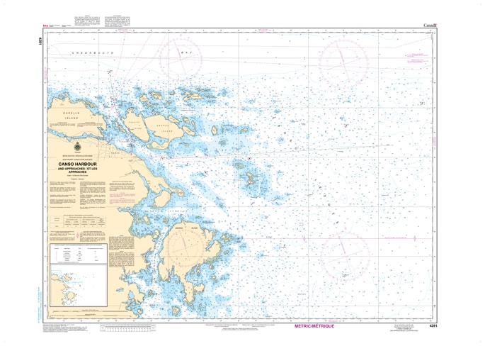
Navigate the historic and strategically vital waters of the Chedabucto Bay area with the CHS Nautical Chart 4281: Canso Harbour and Approaches. Produced by the Canadian Hydrographic Service (CHS), this official nautical chart is the primary resource for mariners entering the Atlantic gateway at the eastern tip of mainland Nova Scotia.
Chart 4281 provides high-resolution bathymetric data for Canso Harbour, the Tickle, and the various island-strewn approaches from the Atlantic Ocean. Known for its complex shoreline and numerous shoals, the Canso region requires precise navigation for fishing vessels, commercial shipping, and recreational cruisers. This chart ensures safe passage through the deep-water channels while clearly identifying the rugged hazards of the Guysborough County coast.
Key Navigational Features:
Official Hydrography: Features up-to-date depth soundings, seabed composition, and detailed tidal information for the Canso area.
Detailed Approach Coverage: Includes the coastal waters, islands, and ledges that define the approach to this historic fishing port.
Aids to Navigation: Clearly marked buoys, range lights, beacons, and shore-based landmarks essential for safe transit in all visibility conditions.
Safety & Hazard Marking: Pinpoints submerged rocks, shallow bars, and industrial obstacles vital for protecting your vessel.
Professional Grade: Printed on high-quality, durable nautical paper designed to meet official carriage requirements for vessels operating in Canadian waters.
Whether you are seeking refuge in the sheltered harbour of Canso or navigating the passage toward the Strait of Canso and the Causeway, Chart 4281 provides the reliable data needed for safe coastal exploration.