QUESTIONS? CALL OR TEXT! 1 (877) 921-6277 or (403) 266-2241
WE SHIP EVERYWHERE!

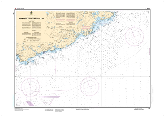
Navigate the scenic and rugged southeastern coast of Cape Breton with the Canadian Hydrographic Service (CHS) Nautical Chart 4374. This official marine chart provides critical coverage for mariners traveling between Red Point and Guyon Island, Nova Scotia. At a detailed 1:75,000 scale, this chart is an essential tool for coastal navigation, providing a comprehensive view of the Atlantic waters that border the Richmond and Cape Breton counties.
As an official CHS publication, Chart 4374 is meticulously crafted to meet the safety requirements of both recreational boaters and commercial mariners. It features precise bathymetric data (depth soundings), seafloor characteristics, and high-resolution coastal topography.
Chart Number: 4374
Scale: 1:75,000
Region: Atlantic Coast (Cape Breton Island, SE Coast)
Coverage: Red Point, Fourchu Bay, Gabarus Bay (vicinity), and Guyon Island.
Dimensions: Standard 33" x 47" (Large format for clear readability).
Format: Printed on heavy-duty kraft paper (waterproof synthetic options available via Print-on-Demand).
Guyon Island Lighthouse: Detailed light characteristics and positioning for the critical Guyon Island aid to navigation.
Bathymetric Contours: Precise depth markings (in metres) to assist in safe passage through coastal shallows.
Shoreline Detail: High-contrast rendering of the rocky SE Cape Breton coast, including intertidal zones and marshes.
Hazard Identification: Clearly marked shipwrecks, submerged rocks, and magnetic anomalies common in the North Atlantic.