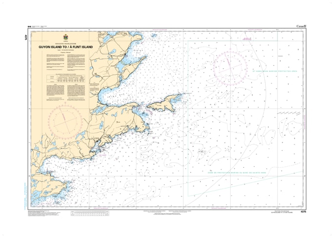
4375 - Guyon Island to Flint Island Navigation Chart (Nova Scotia)
Canadian Hydrographic Service
$
Choose your options:
Style(optional):
Product Code: 4375
nsure safe passage through the critical waters of eastern Cape Breton with the Canadian Hydrographic Service (CHS) Nautical Chart 4375. This official marine chart provides essential coverage of the Atlantic coastline from Guyon Island to Flint Island, Nova Scotia.Mapped at a detailed 1:75,733 scale, it serves as a vital navigational link for mariners transiting between the southeastern coast and the northern approaches of Sydney and Glace Bay.
Chart 4375 is meticulously detailed to meet the rigorous standards of the CHS. It features comprehensive bathymetric soundings (in metres), seafloor composition, and high-resolution coastal topography. This chart is indispensable for identifying the intricate features of Louisbourg Harbour, the Scatarie Island area, and the treacherous Gabarus Bay. It clearly labels all major aids to navigation, including lighthouses, offshore buoys, and underwater hazards like shipwrecks and submerged rocks. Updated to the latest Notice to Mariners (NTM), this chart is a mandatory tool for commercial vessels and a critical safety resource for recreational boaters navigating the powerful Atlantic swells of Cape Breton.