QUESTIONS? CALL OR TEXT! 1 (877) 921-6277 or (403) 266-2241
WE SHIP EVERYWHERE!

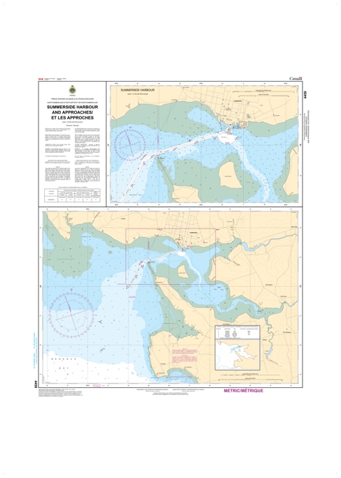
Navigate the waters of Prince Edward Island’s second-largest city with the professional precision of CHS Nautical Chart 4459. Providing essential coverage of Summerside Harbour and its seaward approaches, this chart is a critical resource for mariners entering Bedeque Bay from the Northumberland Strait. As a key hub for agricultural exports, aerospace logistics, and recreational sailing, Summerside requires the high-resolution hydrographic data found only in official Canadian Hydrographic Service documents to manage its approach channels and industrial waterfront.
Chart 4459 features detailed mapping of the 80-metre wide approach channel, maintained at a depth of 6.7 metres, ensuring safe passage for commercial shipping and deep-draft vessels. It offers comprehensive data on the Summerside Breakwater, the iconic lighthouse, and the shifting shoals of Holman Island. Whether you are a commercial pilot docking at the Summerside Port Corporation wharves or a recreational boater heading into the Summerside Yacht Club, this chart provides the updated soundings, navigational aids, and tidal information necessary for safe pilotage.
Key Features include:
Detailed Harbour Insets: High-scale mapping of the Summerside waterfront, including commercial piers, public wharves, and the Marina at Spinnakers' Landing.
Navigation-Critical Data: Precise depth soundings and seabed composition essential for navigating the dredge-maintained entrance channel.
Bedeque Bay Coverage: Strategic data for the approaches surrounding Indian Head and Pointe des Roches, featuring all major range lights and channel buoys.
Safety & Hazard Identification: Clearly marks the "Tryon Shoals" transition and the rocky outcrops unique to the southern Prince County coastline.
Professional Grade: Produced to the rigorous standards of the Canadian Hydrographic Service (CHS) for professional navigation, harbor management, and GIS spatial analysis.