QUESTIONS? CALL OR TEXT! 1 (877) 921-6277 or (403) 266-2241
WE SHIP EVERYWHERE!

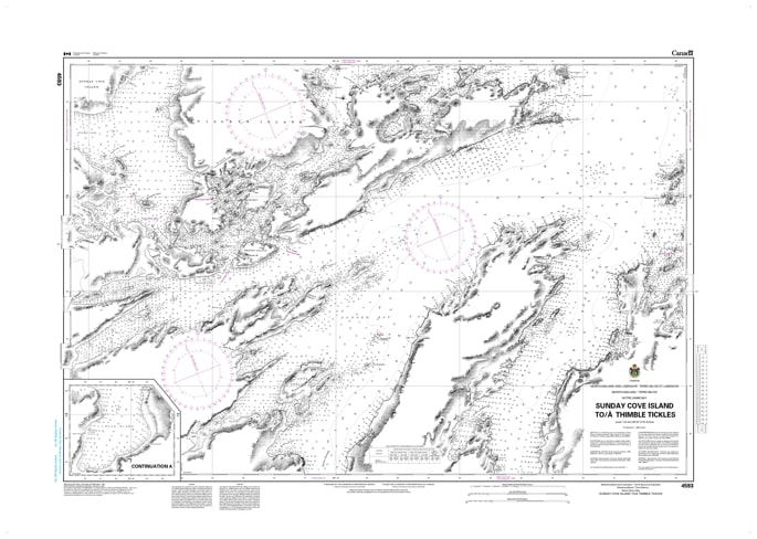
Navigate the highly intricate, island-sheltered passages of western Notre Dame Bay with the absolute precision of the official Canadian Hydrographic Service (CHS) Nautical Chart 4593. This professional-grade marine navigation chart provides authoritative, high-resolution hydrographic data covering the volatile coastal corridor from Sunday Cove Island to Thimble Tickles along the northeast coast of Newfoundland. Engineered to meet strict maritime safety compliance, this chart is an indispensable safety tool required by commercial mariners, local fishing fleets, and recreational boaters maneuvering through these tight island arms and tickles.
Spanning a standard large-format 47 x 34 inches, Chart 4593 delivers comprehensive, high-density depth soundings, detailed shoreline contours, and explicit underwater hazard markings for treacherous shallow shoals, isolated ledges, and submerged rocks. The detailed layout offers exceptional cartographic clarity for tracking complex local channels, identifying harbor approaches, and locating safe coastal anchoring zones protected from heavy North Atlantic swells. Bilingual in English and French, this official CHS chart is printed on demand using premium, high-contrast paper, ensuring maximum legibility on your vessel's navigation table under all marine weather conditions.