QUESTIONS? CALL OR TEXT! 1 (877) 921-6277 or (403) 266-2241
WE SHIP EVERYWHERE!

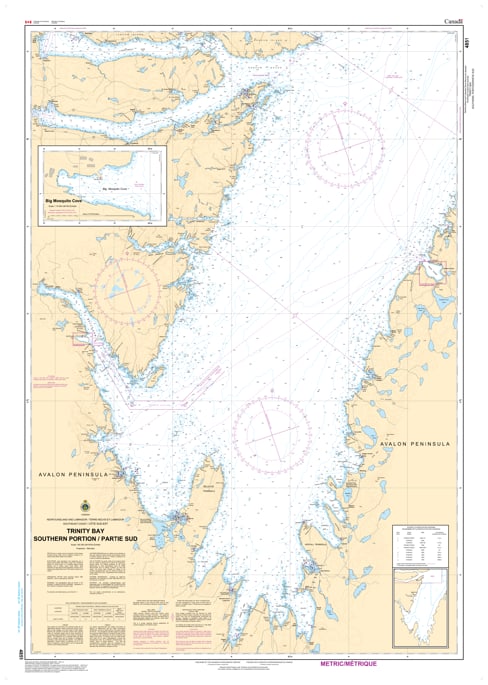
Navigate the deep and complex waters of the southern Avalon Peninsula with the official Canadian Hydrographic Service (CHS) Chart 4851. Providing comprehensive, high-accuracy marine navigation coverage for the Southern Portion of Trinity Bay, this professional-grade nautical map is an essential resource for commercial vessel operators, industrial shipping captains, coastal fishers, and recreational mariners.
This detailed chart offers critical hydrographic data for a bustling and strategically vital maritime region. Chart 4851 delivers precise bathymetric data, shoreline topography, and localized navigational aid data for key industrial and coastal hubs, including Bull Arm—renowned for its major marine fabrication and oil-and-gas projects—Random Sound, Clarenville, and Hearts Delight. Because Trinity Bay is known for deep waters bordered by sudden shoals, tight approach channels, and unpredictable North Atlantic weather conditions, having the precise underwater hazard markings and depth soundings provided by this official CHS chart is vital for safe pilotage and anchoring.
Printed on demand using premium, high-durability materials, Chart 4851 ensures exceptional visual clarity under demanding offshore conditions. Whether you are fulfilling mandatory carriage regulations for commercial vessels, maintaining a dependable physical backup for your electronic chart plotter (ENC), or seeking an authentic piece of Newfoundland coastal cartography for home or office decor, this chart delivers unmatched accuracy and dependability.