QUESTIONS? CALL OR TEXT! 1 (877) 921-6277 or (403) 266-2241
WE SHIP EVERYWHERE!

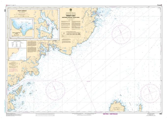
Navigate the vast outer reaches of western Newfoundland's historic waters with the official Canadian Hydrographic Service (CHS) Chart 4853. Providing comprehensive, high-accuracy marine navigation coverage for the Northern Portion of Trinity Bay, this professional-grade nautical map is an essential resource for commercial vessel operators, transatlantic shipping fleets, coastal fishers, and offshore cruisers.
This detailed chart offers critical hydrographic data for the upper basin of Trinity Bay as it opens into the Atlantic Ocean. Chart 4853 delivers precise bathymetric data, shoreline topography, and localized navigational aid data for key maritime channels and coastal communities, including Trinity Harbour, Catalina, Elliston, and the waters rounding the rugged Bonavista Peninsula. Known for its deep underwater trenches, sudden coastal shoals, dense fog, and seasonal icebergs, navigating the northern portion of Trinity Bay requires the meticulous depth soundings, underwater hazard markings, and buoy placements that only an official CHS chart can deliver.
Printed on demand using premium, high-durability materials, Chart 4853 ensures exceptional visual clarity under demanding offshore bridge conditions. Whether you are fulfilling mandatory marine carriage regulations for commercial shipping, maintaining a dependable physical backup for your electronic chart plotter (ENC), or seeking an authentic piece of Newfoundland coastal cartography for home or office decor, this chart delivers unmatched accuracy and dependability.