QUESTIONS? CALL OR TEXT! 1 (877) 921-6277 or (403) 266-2241
WE SHIP EVERYWHERE!

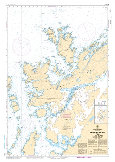
Navigate the intricate coastal waters of Central Newfoundland with the CHS Nautical Chart 4863. This official chart from the Canadian Hydrographic Service (CHS) provides essential, high-resolution coverage for the eastern reaches of Notre Dame Bay, extending from the historic Bacalhao Island to Black Island.
At a scale of 1:40,000, Chart 4863 is a vital "approach chart" for mariners entering the complex archipelagos and tickles of the New World Island and Fogo Island regions. This area is characterized by high-traffic fishing grounds, rugged coastlines, and popular recreational boating routes. Whether you are navigating toward Lewisporte, exploring the scenic Dildo Run, or transiting the Atlantic-exposed headlands, this chart provides the precision bathymetry needed for safe passage through these shoal-infested waters.
Key Navigational Features:
Official Hydrographic Data: Detailed depth soundings, seabed composition, and tidal information specific to the Notre Dame Bay region.
Strategic Coastal Coverage: Precise mapping of the island groups, ledges, and channels between Bacalhao and Black Island.
Aids to Navigation: Clearly marks coastal lighthouses (including the Bacalhao Island light), buoys, range lights, and landmarks for reliable visual fixes.
Safety & Hazard Mapping: Identifies submerged rocks, shoals, and drying heights, critical for the safety of both commercial fishing vessels and pleasure craft.
Professional Standards: Meets official carriage requirements for vessels operating in Canadian coastal waters, ensuring maritime compliance and safety.
From the exposed offshore reaches to the sheltered entries of the Northeast coast, Chart 4863 is the definitive guide for navigating this historic and resource-rich maritime corridor.