QUESTIONS? CALL OR TEXT! 1 (877) 921-6277 or (403) 266-2241
WE SHIP EVERYWHERE!

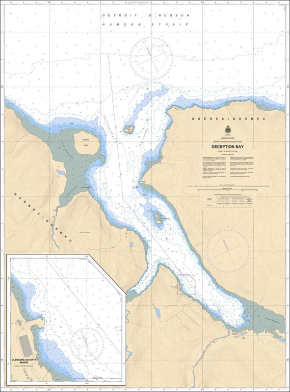
The Canadian Hydrographic Service (CHS) Chart 5457 is an official, high-precision marine navigation chart engineered for commercial cargo fleets, industrial mining supply vessels, and Arctic operators navigating the northern coast of Nunavik, Quebec along the Hudson Strait. Published at a detailed harbor scale of 1:25,000, this authoritative nautical asset delivers critical "ground-truth" coastal data required for safe passage planning, shallow-water maneuvering, and berth approach routing into Deception Bay (Baie de Déception)—a vital maritime gateway supporting northern mining infrastructure and regional bulk shipping.
Detailed High-Resolution Harbour Mapping: Delivers continuous, high-definition charting across the sheltered inlet channels, coastal docks, and loading facilities within Deception Bay.
Official Bathymetric & Seafloor Data: Packed with precise localized depth soundings, undersea contour lines, low-tide marine benchmarks, and subarctic reef hazards essential for managing safe draft clearance and secure anchoring during industrial bulk transfers.
Essential Aids to Navigation: Explicitly details official maritime buoys, coastal light stations, daybeacons, and prominent shoreline topography to ensure maximum situational awareness during low-visibility subarctic conditions, fog, or night transits.
Premium Multi-Light Legibility: Printed with vibrant, high-contrast marine inks specifically engineered to maintain absolute clarity under both direct pilothouse sunlight and dim red-light night-deck setups.
Legal Vessel Compliance: Fully satisfies international SOLAS (Safety of Life at Sea) carriage regulations and Canada Shipping Act mandates for commercial and recreational vessels requiring official hydrographic documentation.