QUESTIONS? CALL OR TEXT! 1 (877) 921-6277 or (403) 266-2241
WE SHIP EVERYWHERE!

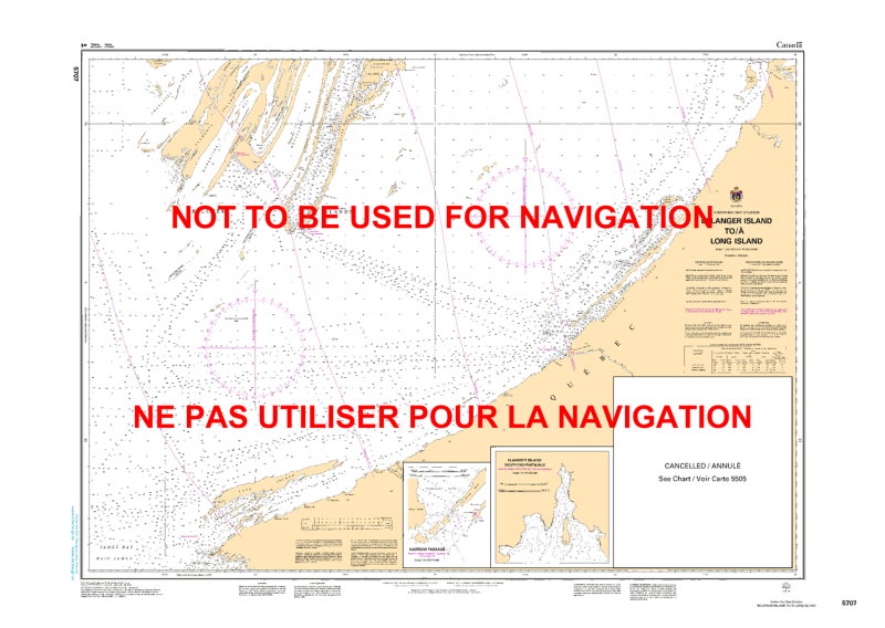
The Canadian Hydrographic Service (CHS) Chart 5707 (as displayed in image_d084ec.jpg) is an official, high-precision marine navigation chart engineered for commercial cargo fleets, industrial sealift vessels, and subarctic operators navigating the southeastern expanse of Hudson Bay and the northern approaches to James Bay. Published at a general passage scale of 1:250,000, this authoritative nautical asset provides critical "ground-truth" coastal hydrographic data required for safe passage planning, offshore routing, and island-channel navigation spanning from Bélanger Island south to Long Island, including coverage of the eastern Belcher Islands and inset details for Narrow Passage and the south end of Flaherty Island.
Comprehensive Coastal & Archipelago Mapping: Delivers continuous, high-definition charting across the eastern shore of Hudson Bay along Quebec and the complex island chains of the Belcher Islands archipelago.
Official Bathymetric & Seafloor Data: Packed with precise localized depth soundings, undersea contour lines, low-tide marine benchmarks, and subarctic shoal hazards essential for managing safe draft clearance during coastal and offshore transits.
Insets & Detailed Passage Plans: Includes high-resolution harbor/passage insets for Narrow Passage (Scale 1:30,000) and Flaherty Island South End (Scale 1:70,000) to assist in close-quarters navigation.
Essential Aids to Navigation: Explicitly details official maritime buoys, light stations, daybeacons, compass roses, and prominent shoreline topography to ensure maximum situational awareness during low-visibility subarctic conditions, fog, or night transits.
Legal Vessel Compliance: Fully satisfies international SOLAS (Safety of Life at Sea) carriage regulations and Canada Shipping Act mandates for commercial and recreational vessels requiring official hydrographic documentation.