QUESTIONS? CALL OR TEXT! 1 (877) 921-6277 or (403) 266-2241
WE SHIP EVERYWHERE!

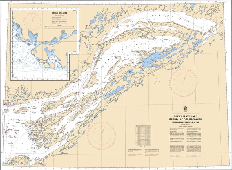
The Canadian Hydrographic Service (CHS) Chart 6341 is an official, high-precision marine navigation chart engineered for commercial shipping vessels, tug and barge operations, fishing fleets, and recreational mariners traversing the deep waters of the Northwest Territories. This authoritative nautical asset delivers critical "ground-truth" oceanographic data required for safe passage planning, shallow-reef avoidance, and remote route planning across the vast and rugged eastern portion of Great Slave Lake (including Christie Bay and McLeod Bay).
Comprehensive Great Slave Lake Coverage: Delivers detailed, continuous charting across the complex island archipelagos, deep trenches, and sheer cliffs of the lake’s eastern arm.
Official Bathymetric & Seafloor Data: Packed with localized depth soundings, precise underwater contours, low-water datum references, and hidden shoal hazards crucial for navigating North America's deepest lake safely.
Essential Aids to Navigation: Explicitly details official Canadian Coast Guard marine buoys, warning lights, daybeacons, compass roses, and shore-based landmarks for reliable orientation in remote subarctic wilderness.
Premium Multi-Light Legibility: Printed with vibrant, high-contrast marine inks specifically engineered to maintain absolute clarity under direct northern sunlight or dim wheelhouse conditions.
Official Marine Compliance: Satisfies carriage regulations and Canada Shipping Act mandates for commercial and recreational vessels requiring official hydrographic documentation for the Northwest Territories.